On my recent trip to Israel, I used an app called 360 Panorama to take 360-degree images of biblical sites. I took more than 50 images, and generally, I think the app did well.
(Photo: The Middle Bronze Gate at Tel Dan)
The app allows geotagging of images, and it notes both the location and direction of the image you take. But it isn’t perfect. Some of the geotagging is quirky, for example, it located Qumran in Jordan. Also getting a good “stitch” takes some practice.
In this post you can look around 11 key sites all over Israel. Next week, I’ll share some 360-degree images from Jerusalem.
Just click on the images and drag right or left to look around!
1. Tabernacle Model in Timna Park
See a full-screen view of the image and read more in my post about Timna Park.
2. Makhtesh Ramon
See a full-screen view of the image and read more in my post about Makhtesh Ramon.
3. Beersheba
See a full-screen view of the image and read more in my post about Beersheba.
4. Caesarea Theater and Hippodrome
See a full-screen view of the image (and here) and read more in my posts about Caesarea.
5. Nof Ginosar
See a full-screen view of the image and read more in my post about Nof Ginosar.
6. Tel Dan High Place and Middle Bronze Gate
See a full-screen view of the image (and here) and read more in my posts about Tel Dan.
7. Caesarea Philippi
See a full-screen view of the image and read more in my post about Caesarea Philippi.
8. On the Sea of Galilee
See a full-screen view of the image and read more in my post about boating on the Sea of Galilee.
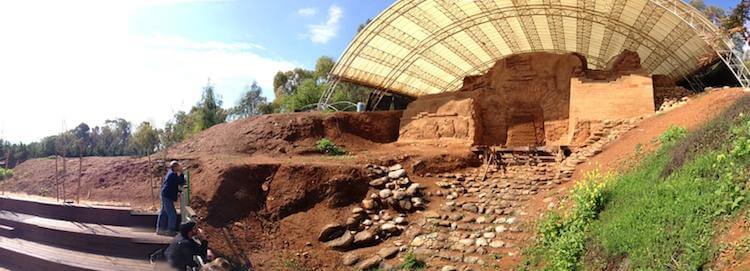
9. Beth Shean
See a full-screen view of the image and read more in my post about Beth Shean.
10. Qumran
See a full-screen view of the image (and here) and read more in my post about Qumran.
11. Jordan River Baptismal Site
See a full-screen view of the image and read more in my post about the Jordan River.
Tell me what you think: Which image most fascinates you? To leave a comment, just click here.