How do you know which way to go when your smartphone has no service? Just this week, Cathy and I faced this problem as we drove through Glacier National Park with some friends. So, we used something I hadn’t used in years. An actual roadmap.

(Photo courtesy of Unsplash)
Amazingly, the roadmap worked! We made our way just fine. (Back to the service of our smartphone satellites.)
It struck me how we don’t have a GPS for our understanding of Bible lands. Instead, we have great maps in a wonderful variety.
Do you use maps when you read your Bible? Here’s why you should.
Putting the Bible on the Map
A good, modern atlas can help you understand the biblical lands. The value of maps to Bible study dates back centuries. (For good reason.)
Eusebius, the Bishop of Caesarea, wrote the first historical geography of Bible lands around A.D. 325. Having lived in what was then called “Palestine” all his life, Eusebius was well-suited to the task of writing his Onomasticon (“a collection of names”). You can still get a copy today, finally in English.
- Eusebius recognized the value of geography to biblical studies, and he systematized his book—a venerable index and encyclopedia of sites and locations—for Bible students who may never see the land itself.
- Without this volume, we would not know the location of many biblical sites.
- Eusebius’ Onomasticon did much to set in motion early pilgrimages to the Holy Land.
A couple of centuries later, the mosaic Medeba Map on the floor of a 6th-century church offered a perspective of the Holy Land to travelers. I’m still amazed at the details of the map, which you can see in modern Madaba, Jordan, in spite of the fact that cartographers in centuries past had no satellite images to work from. (Or smartphones!)
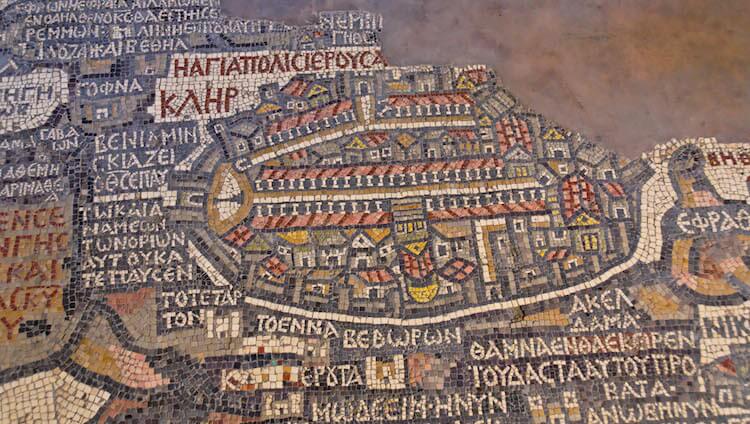
(Photo: Medeba map, Jerusalem area. Courtesy of the Pictorial Library of Bible Lands)
Why Using Maps in Your Bible Reading is Valuable
Think about the value of maps in your own life.
- When traveling, road maps give you insight into the distance between locations, which roads to take, and what points of interest to look for.
- Topographical maps use contour lines in which each line represents the same elevation. This representation gives you an understanding of the “lay of the land”—the topography of a given terrain. It’s much more informative to see a topographical map than a flat map with no contours and curves.
- A physical map reveals locations of rivers, mountains, lakes, seas—basically the physical features of an area.
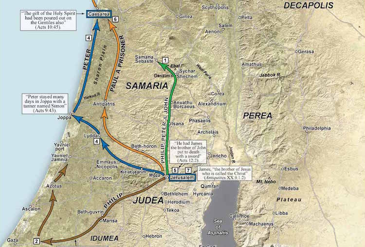
(Map: The Acts of the Apostles in Israel, courtesy of Satellite Bible Atlas)
When studying the Bible, all of these play a critical role in our accurate understanding of biblical events. For example:
- Highways—There was a major highway that ran the full length of Israel; this is the primary reason Israel had interactions with surrounding nations. HUGE importance.
- Topography—Jerusalem, Megiddo, and many other sites had a significant military advantage because of their topography.
- Physical Barriers—Rivers, seas, and lakes—and climate—all played a major role in shaping biblical events. Understanding their significance gives a greater understanding into the biblical narrative than you would have otherwise.
Go Beyond the Maps in the Back of Your Bible
I have a study Bible from years ago that gave great attention to the text but little thought to the maps in the back.
Even a Study Bible that has a good set of maps really isn’t enough. Why? Because they give only a 35,000-foot view of Bible lands. It’s like trying to understand a city’s details from an airplane.
In other words, if you want to glean the tremendous value Bible maps can add to your Bible study, you need to take the next step.
Get an atlas.
The Bible is replete with geographical information, not as a guidebook for travelers or a textbook on geography, but often almost incidental to the message. Yet without the geography, that message is often obscured or vitiated for the uninformed reader.—The Sacred Bridge, p. 9
Pick the Atlas that is Best for You
Good atlases provide more than maps. They show you the importance of geography as it relates to history, archaeology, topography, and climate.
There are a number of excellent atlases available today. Although I could suggest more than these, I’ll recommend only three—covering various levels of study. I own and enjoy all three.
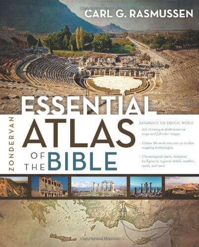 Zondervan Essential Atlas of the Bible, by Carl G. Rasmussen
This is a condensed version of Dr. Rasmussen’s larger atlas—the first atlas I seriously read and used—and its text is excellent. Dr. Rasmussen served as Dean of the Institute of Holy Land Studies in Jerusalem for years. This “essential” atlas is ideal for beginners, as it introduces readers to the biblical terrain, roads, and climate—as well as to the benefits of geography in Bible study and in particular biblical events. You can pick it up here.
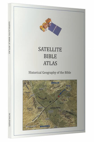 The Satellite Bible Atlas, by Bill Schlegel
Produced by a Christian professor who has lived in Israel for many years, this new Bible atlas has 85 full-page color maps with biblical events marked on enhanced satellite imagery, accompanied by geographical and historical commentary (see the image above). I’m amazed at the detail of these maps, as well as how they inform every significant biblical event. You can pick it up here.
The atlas also comes with digital versions of the map, perfect if you want to search your atlas in Evernote. (That’s what I do.)
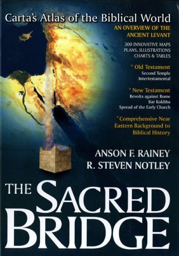 The Sacred Bridge: Carta’s Atlas of the Biblical World, by Anson F Rainey and R. Steven Notley
This atlas is pretty dense and scholarly, but it makes excellent use of maps, original sources, and biblical languages. It’s also expensive, but I always appreciate the detail and insights it gives me every time I open it.
There is enough in this atlas to give you a lifetime of beneficial study. You can pick it up here.
The lands of the Bible will give you much more than you think. The more you understanding the lands of the Bible, the better you’ll understand the Bible itself.
I promise you, it’s well worth your time.
Tell me what you think: Have you read a Bible atlas? To leave a comment, just click here.
